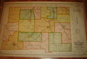
Map shows Boyer Brook as "Smith's Brook", as many earlier maps do.
| Name | "Map of the Public Roads in McKean County, Pennsylvania" |
|
|---|---|---|
| Catalog ID | HCM2118 | |
| Year | 1915 | |
| Description | Large map. "Constructed from actual surveys made under direction of the State Highway Department by authority of an Act of Assembly approved May 31, 1911." "May 1, 1915". Map shows Boyer Brook as "Smith's Brook", as many earlier maps do. |
|
| Added | 2010-06-03 22:54:02 (updated 2020-10-30 16:01:24) | |
| Dimensions | 29.75x 45.5 | |