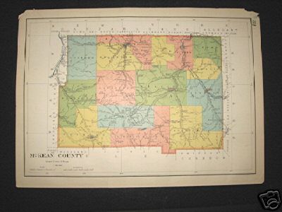
| Name | "McKean County", from "Atlas of the State of Pennsylvania" |
|
|---|---|---|
| Catalog ID | HCM1332 | |
| Year | 1899 | |
| Description | Colored map from the 1899 edition of the "Atlas of the State of Pennsylvania". Boyer Brook is labeled "Smith Brook". Two corners torn. | |
| Added | 2008-02-23 08:53:36 (updated 2020-10-30 16:03:52) | |
| Dimensions | 19.5x14 | |